
Comprehensive site and boundary surveys supporting residential planning.
This Portarlington project involved a comprehensive feature and level survey, combined with a title re-establishment survey and existing conditions survey. Completed in 2021, the surveying services supported a residential development by providing detailed boundary clarification and complete site documentation for architectural planning.
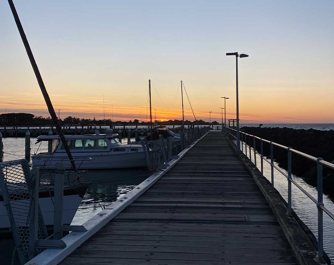
Located on Fischer Street, this property required a clear understanding of its legal boundaries, surrounding infrastructure, and site-specific features to inform a new design.
Feature and level survey.
The feature and level survey in Portarlington recorded all relevant features on-site, including existing buildings, vegetation, sheds, site levels, and surrounding streetscape details such as kerbs, utility pits, and poles. This data was essential for the architect’s design phase and supported council planning requirements.
All results were delivered in digital and hard copy format, allowing seamless integration with the project’s planning and design tools.
Title re-establishment survey.
To verify the true extent of the property, a title re-establishment survey in Portarlington was also carried out. This service identified the property’s legal title boundaries in relation to current fences and structures and included the physical marking of corners using pegs.
Mark Potter Land Surveyor also prepared a comprehensive plan and surveyor’s report to outline the property rights and identify any boundary-related risks or foreseeable issues. This step is crucial before beginning construction or applying for planning permits, especially in growing coastal towns like Portarlington.
Existing conditions survey.
An existing conditions survey was completed to extend the feature survey with additional details of neighbouring structures. Rooflines, eaves, windows and their heights were measured to ensure design compliance with planning guidelines such as overlooking, overshadowing, and setbacks.
This information is regularly required for town planning and was included in the documentation provided to the architect and planning consultant.
If you’re planning a development in Portarlington or the Bellarine Peninsula, a feature and level survey and title re-establishment survey are essential first steps. Contact Mark Potter Land Surveyor to get accurate, timely and council-compliant surveying services.
Detailed conditions surveys support informed design decisions by documenting surrounding structures, heights and interfaces early in the planning process.